The Domesday Book was designed to perform three key functions:
• To record the transfer and possession of land. After the conquest huge amounts of land in England changed hands and a record of these changes was needed to keep track.
• To record the value of each estate (land held by an individual).
• To introduce a new system of taxation on each estate that allowed the king to raise more money from all landholders.
Under the structure of society introduced by William, he, the king, owned all the land. Below the king was a layer of great lords who held land from him. They were called his tenants-in-chief. And below them there were others who held the land from the tenants-in-chief, and so on. This meant that the individuals named in the book were almost exclusively land-holders.
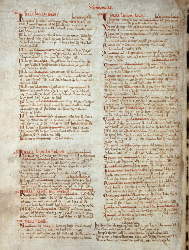
At the time of the survey, the land-holder in Checkley was Otto, although little further is known about him. The survey records the holding as:
• There is half a hide [60 acres]
• There is land for 3½ ploughs [420 acres]
• In demesne [used by the lord of the manor] is half a plough [60 acres]
• 3 villans [unfree peasants - farmworkers]
• There are 2 acres of meadow
• Woodland 1 league [1½ miles] long and as much broad.
It is worth 5s. [25p]
The area measurements at that time were by no means standardised. Most of the land measurements were related to agriculture, thus a ‘hide’ or ‘plough’ was originally intended to represent the amount of land sufficient to support a household. This was generally reckoned to require an amount of land which could be ploughed using eight oxen, in a single annual season. Although these areas were not fixed in size and varied from one village to another (partly depending on soil conditions), this averaged 120 acres.
An acre was the amount of land tillable by one man behind one ox in one day. Traditional acres were long and narrow due to the difficulty in turning the plough. They were a furlong long (meaning furrow length) which was the distance a team of oxen could plough without resting (220 yards) and they were 4 perches (22 yards) wide. This is equivalent to a modern day acre. A ‘perch’ or ‘rod’ is a historical unit of length equal to about 5½ yards and may have originated from the typical length of a mediaeval ox-goad.
In Norman times a league was defined as 1½ Roman miles (approximately 1·4 modern miles) although later it was defined as 3 miles.
A ‘villein’ was a term used to denote a peasant (tenant farmer) who was legally tied to a lord of the manor. Villeins had more rights and social status than those in slavery. They had their own small pieces of land which were rented to them by the lord of the manor in exchange for work on his farm.